
How to carry out Thermographic Drone Inspections on Solar Panels
Thermography is one of the techniques used in engineering environments, which inspects materials subject to natural degradation due to aging and the possible lack of maintenance. It is based on the detection of radiation in the infrared range, and has the great advantage of being reliable, economic and non-destructive.

Continuous techological Innovation has expanded the possibilities for use of instruments to detect the infrared, which have become increasingly precise and widespread. Among the various uses an infrared camera is certainly plausible with the inspection of solar farms. The solar energy industry is among the most advanced in recent years, however, a return on investment is essential to justify its use, and this depends on the optimal functioning of each panel.
When you have the need to perform technical surveys of large areas and on a large number of photovoltaic panels, a camera mounted on a drone is the ideal tool. This allows a considerable saving of time for the detection of abnormalities and hot spots, which jeopardize the perfect functioning of the entire panel, and a reduction of maintenance time and costs.

For thermographic inspections it is necessary to maintain low altitudes and shoot frequently since the detail level required for the detection of hot spots is very high. The flight technique that exploits with the drone is the so-called “Overview” that allows a bird’s eye view of the landscape composed of a series of parallel swipes. Because of the low altitude you can not judge distances and the use of a software for data processing is necessary. Also remember to pay attention to any possible obstacles in the area to fly over.

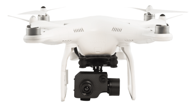
The ability of the camera to capture a high number of frames per second allows the software to draw maps with a high accuracy and reduces errors in the identification of hot spots. Thanks to this feature the strips required for the coverage of an established area and its timing are drastically reduced. For the inspection of a large area, we recommend using a good flight mission planning App, which automates all operations. Images of an inspection on photovoltaic panels with Phantom 336 IR with FLIR Tau 2 are shown below.

Pix4Dmapper stitches the images automatically and creates a 3D model containing all the thermal information of the inspected area. You will then have clearly visible the warmer zones characterized by a coloration which tends to yellow, while the colder areas will appear much darker. An initial inspection immediately shows any panels which malfunction and ensures the possibility of a rapid and targeted intervention. FREE Pix4Dmapper Trial Want to find out about the best solution for you? We offer many solutions for thermal inspections. Which App to use thermography? Discover our guides on Map Pilot and Pix4Dmapper
Link utili: Photogrammetric Flight: all you need to know